The old map of Manado,
and its last kings.
Every village on this 1853 survey still exists. Scroll, and the map takes you from the kingdom on the volcano to the river where you will pan for gold.
Start the journey ↓Meet them on the route. Ask them anything.
Along the expedition you meet holograms of people who lived here. Their knowledge is built from their real lives and our historical sources. Speak in your own language — they answer in yours, out loud. And they are curious about you: what you think, how North Sulawesi has changed, and what you still miss on the tour.
From a volcano island to a treaty table.
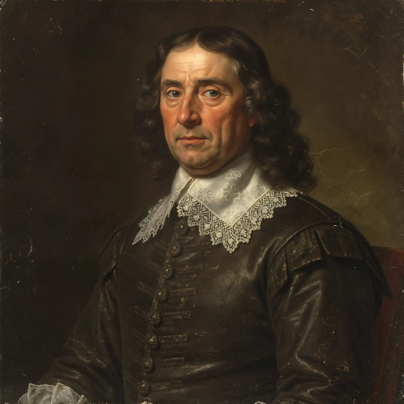
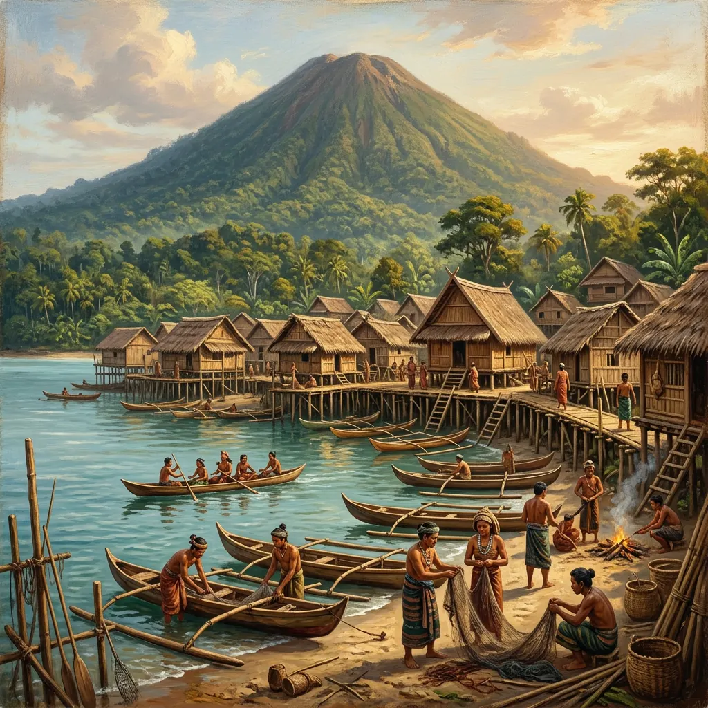 Bowontehu kingsc. 1300–1500 · Manado TuaMokodokedug, Mokodompis, Wulrangkalrangi — legend
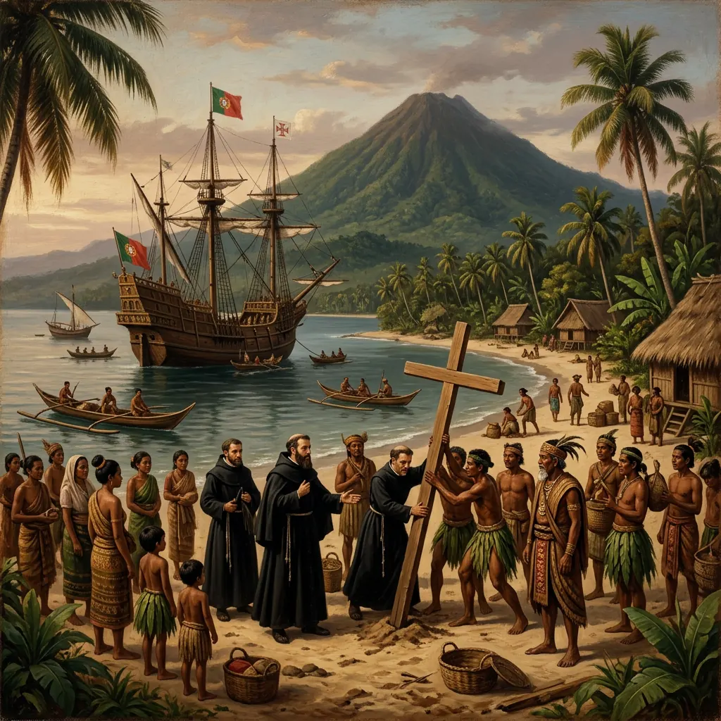 Mokodompis / Mokodompit1563A “King of Manado” baptised by the Portuguese
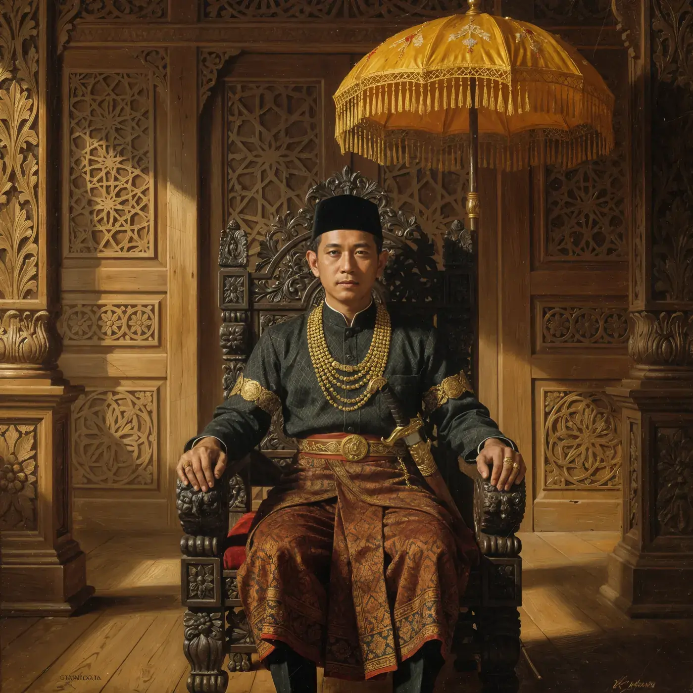 Don Fernando† 1644King of Manado
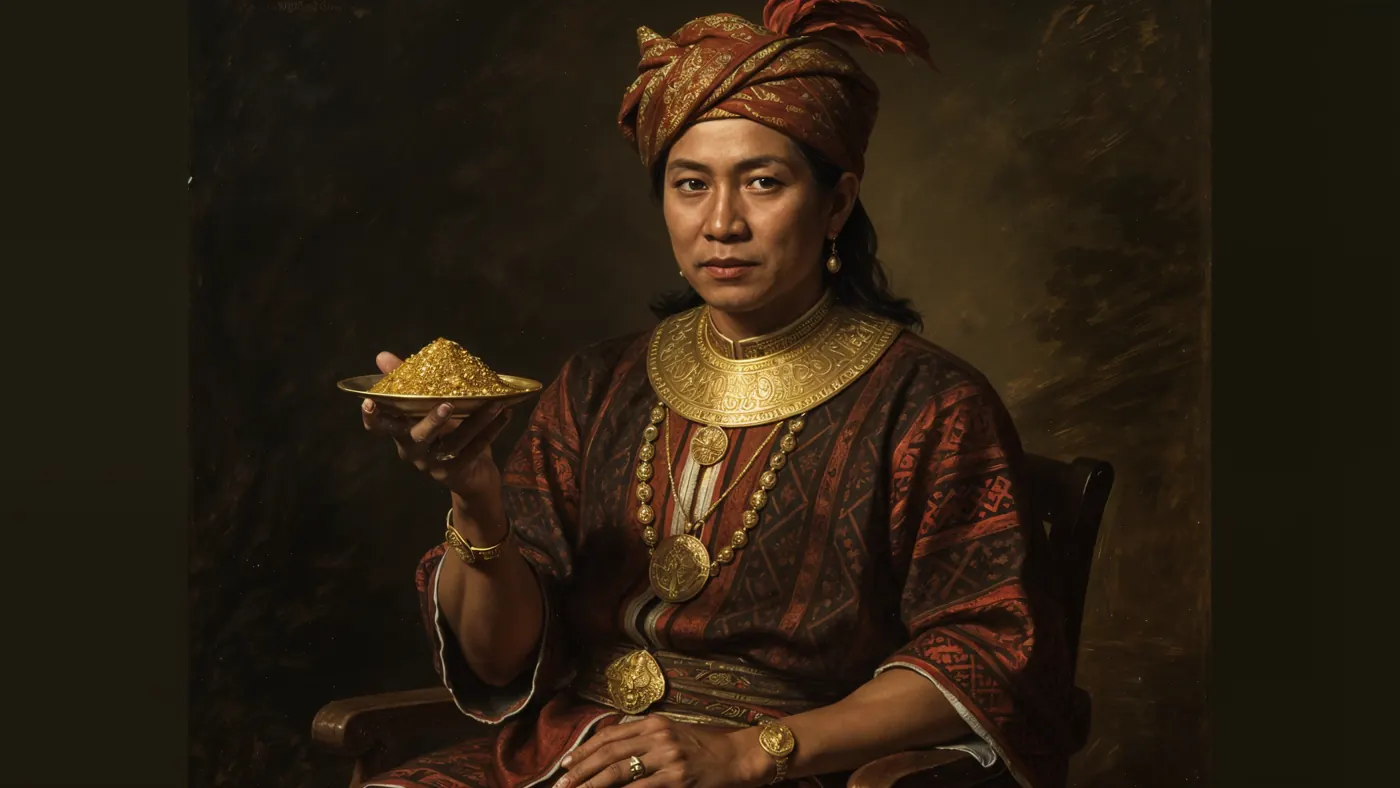 Loloda Mokoagowc. 1653–1693“Koning van Manado” — invites the VOC, builds the fort
 10 January 1679Fort AmsterdamTreaty with the Minahasa chiefs: the kingship of Manado ends
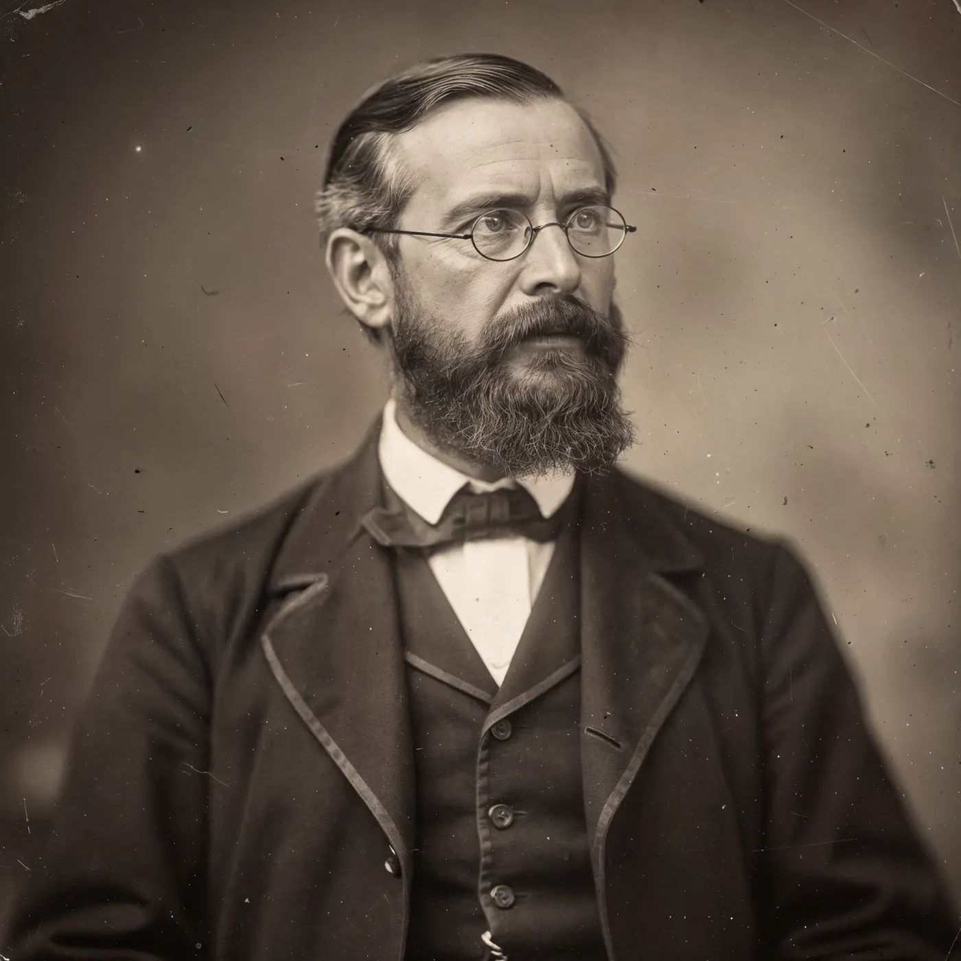
Portraits are artist’s impressions — no contemporary portraits of these kings survive. Loloda Mokoagow’s grave lies in Kotamobagu (Bolaang Mongondow), 4–5 hours from Manado — part of our private history journey.
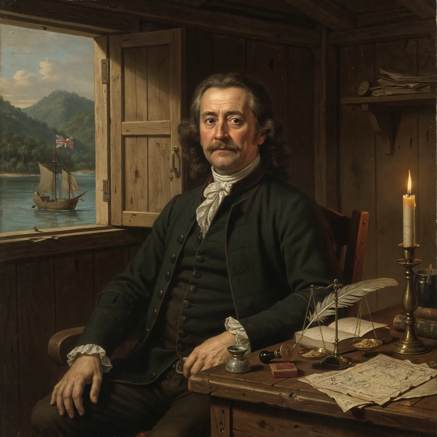
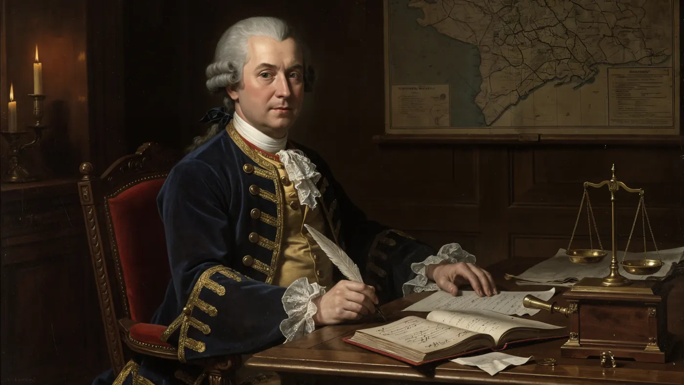
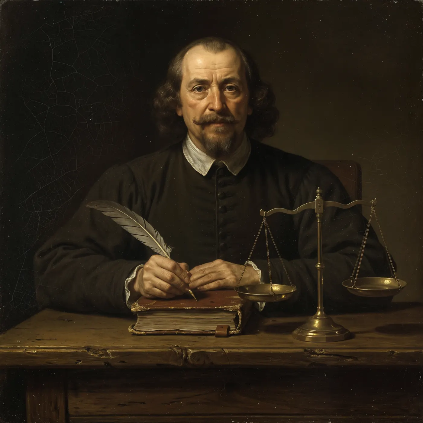
The gold washers of the Minahasa
For centuries villagers washed gold from these rivers with a wooden dulang — first as tribute to their kings, then as a forced delivery to the Company. On your expedition you pan the same way, in the same gold belt.
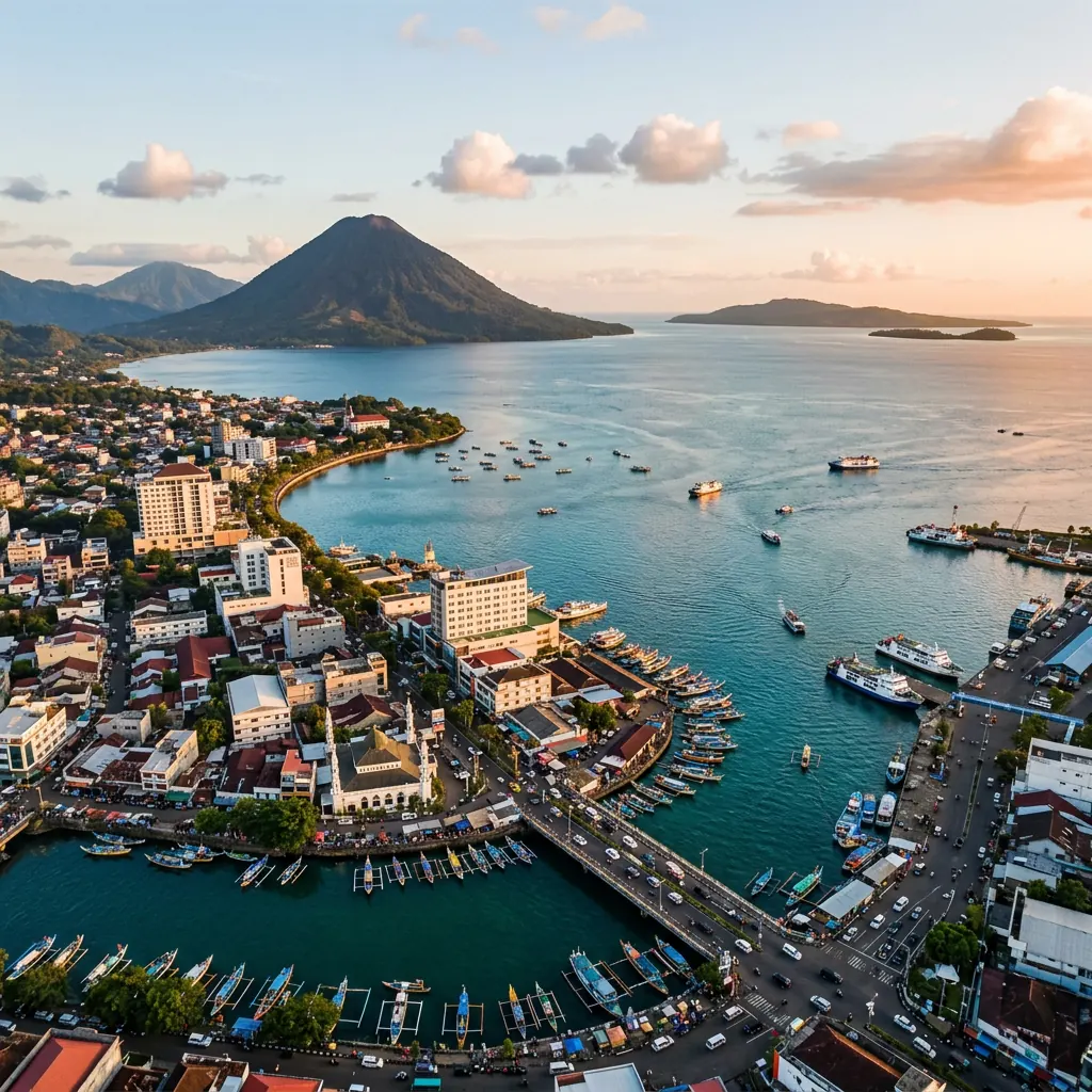
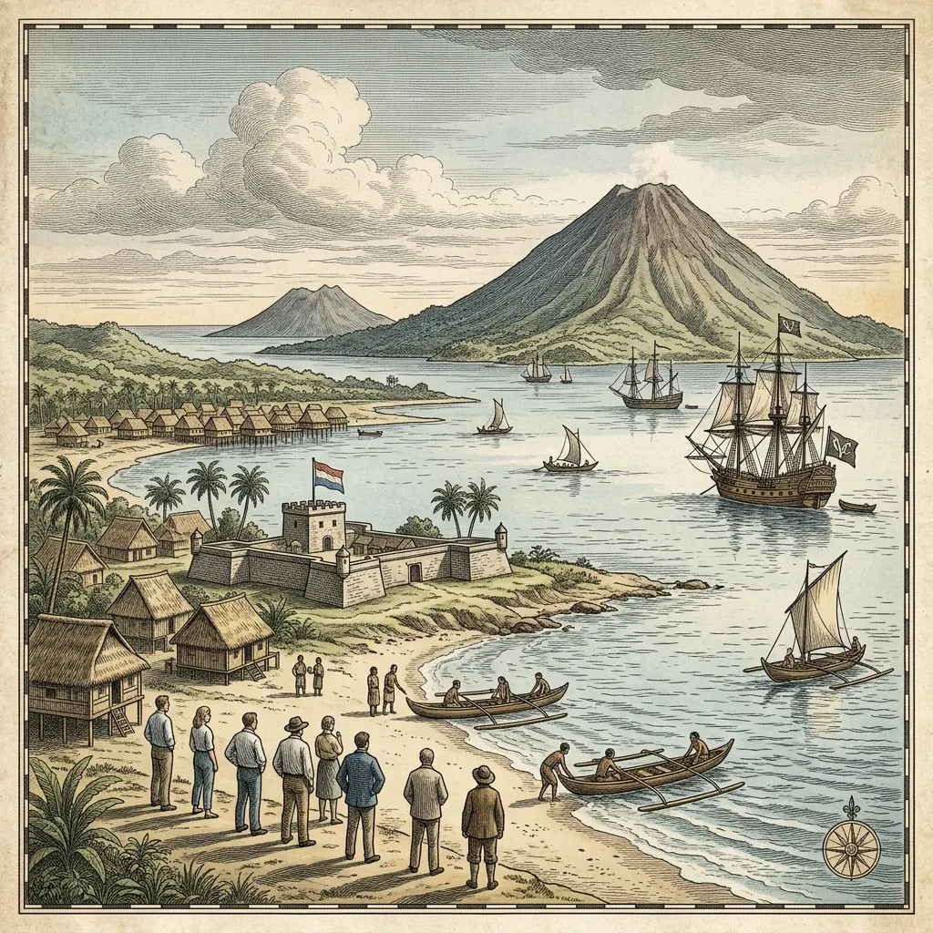
Stand where the fort stood.
Fort Amsterdam was demolished in the 20th century; Pasar 45 now fills its place at the mouth of the Tondano river. On tour, your guide’s tablet lays the old map over the street you are standing in.
Archive photographs of the fort gate (KITLV, Leiden) complete the story on the live site.
Where the story is still standing.
What we won’t tell you.
Good stories travel faster than facts. These are the ones you may read elsewhere — and why you won’t hear them from our guides.
- “The Dutch banned waruga in 1828.” Sources disagree (c. 1800–1860). We say: in the early-to-mid 19th century.
- “Diponegoro left Manado in 1834.” He was moved to Makassar in 1833.
- “The fort was torn down in 1949.” No source confirms it; it was gone by around 1950.
- “The VOC panned gold in these rivers.” There is no evidence; the Company bought and taxed gold, local people mined it.
- “This is exactly what the King of Manado looked like.” No contemporary portrait exists; ours are artist’s impressions.
Sources & image rights
- Rijksmuseum RP-P-2018-3281 (1853 edition, Public Domain) · Wallace, The Malay Archipelago (1869) · Van der Chijs, Plakaatboek vol. 11 (1792)
- Henley, Cakalele 4 (1993) and Leiden University (2004) · Heeres, Corpus Diplomaticum · Carey on Diponegoro · Kemdikbud BPNB Sulut
- ESMI source research: historical gold provenance of the North Minahasa gold belt (2026)
Walk into the map.
Every expedition includes a chapter of this story — on the spot where it happened.